




When archaeologists announced recently they had discovered one of the oldest known ancient Roman military forts in Italy you might have imagined the ruins were unearthed during excavations. Or perhaps you envisaged a Raiders of the Lost Ark-style expedition on which a real-life Indiana Jones uncovered the ruins.
Subscribe now for unlimited access.
$0/
(min cost $0)
or signup to continue reading
Instead, the large military fort with three-metre thick walls, which was strategically positioned on a hill, was spied from the air.
Increasingly, scientists are using remote-sensing data from satellites and planes to uncover relics from lost worlds.
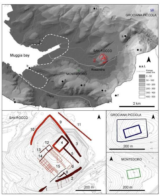
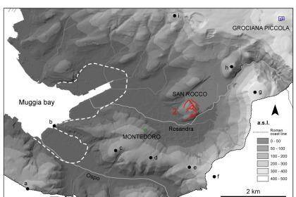
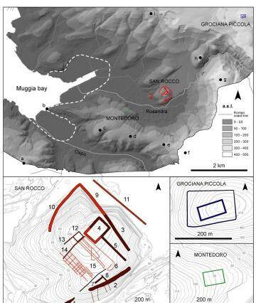
Claudio Tuniz, an Italian-Australian physicist who lead the discovery team, said the military camp, located in the Trieste area in north-east Italy, near its present-day border with Slovenia, was extensive, with a central camp and two smaller forts.
"The main fort is about 13 football fields," said Professor Tuniz, who splits his time between the University of Wollongong's Centre for Archaeological Science and the International Centre for Theoretical Physics, in Italy.
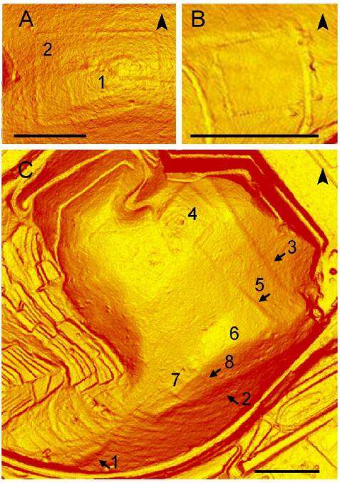
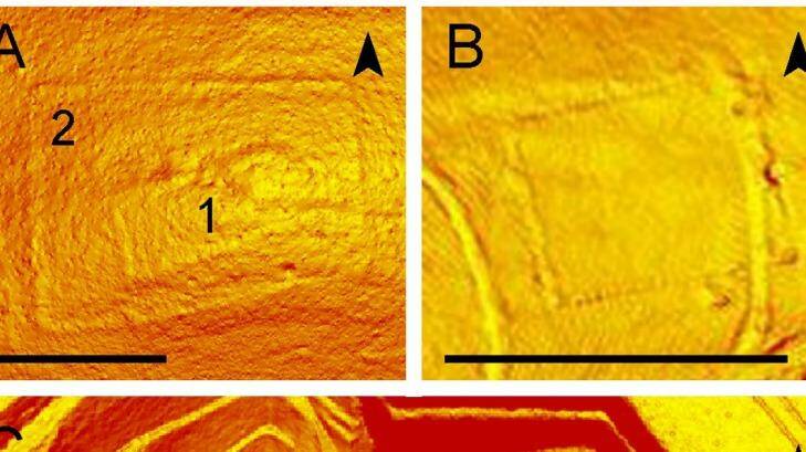
Despite its considerable size, it is impossible to see from the ground because it is now covered by a forest. Professor Tuniz and his team saw the structures on highly detailed maps made by remote-sensing lasers mounted to the bottom helicopters.
The technology, known as LiDAR, can map features from the air that may be indistinguishable on the ground. Dr Tuniz and his collaborators used LiDAR to find a small Roman fort two years ago.
The newly uncovered fort was probably constructed about 178BC, during the second Roman war against the Histri. At the time the area was run by the Roman Republic, which existed from about 500BC to 20BC, before the Roman Empire.
The sites were in use until the mid 1st century BC, but perhaps not continuously, Professor Tuniz said.
"It's the early days of Rome. The Roman Republic was trying to defend itself so they build these big military forts," he said.
The fort probably housed thousands, possibly tens of thousands of soldiers and weapons. Many of these Roman forts were built around Europe, but this is the only one that has been found in Italy.
Several modern European cities, such as Vienna and Strasbourg, were previously Roman military camps.
Once the structures were uncovered by LiDAR, archaeologists went to the area and found materials such as hobnails from military boots worn by Roman soldiers and pieces of amphora, containers often used for carrying wine.
"From the shape of these materials you can understand the period [it was made]," Professor Tuniz said.
The team also use ground penetrating radar, also used for landmine detection, to study the structure beneath the surface of the ground.
"The next step will be to start digging to find details about these Roman constructions," he said.
Details of the new discovery have been published in the Proceedings of the National Academy of Science journal.

